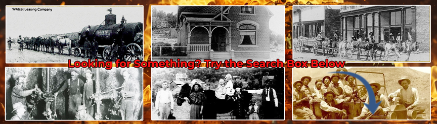
WHITE OAKS DISTRICT Location: In the vicinity of Baxter and Lone Mountains on the west flank of the Jicarilla Range, T. 6 S., R. 11 E. Topographic maps: Roswell 2-degree sheet, Army Map Service; Little Black Peak and Carrizozo 15-minute quadrangles. Geologic maps: Dane and Bachman, 1958, Preliminary geologic map of the southeastern part of New Mexico, scale 1:380,160. Griswold, 1959, Geologic map of Lincoln County (pi. 2), scale 1 in.= 6 miles; Geologic map of a part of the Lone Mountain area (fig. 2). Smith and Budding, 1959, Little Black Peak, east half, scale 1:62,500. Access: 3 miles north of Carrizozo, a light-duty road leads northeast from U.S. Highway 54 through White Oaks Canyon about 8 miles to placer area. Extent: Small placers occur in Baxter Gulch and White Oaks Gulch (sees. 35 and 36, T. 6 S., R. 11 E., projected). Placers were also found in small tributaries to these gulches in the vicinity of the lode mines in the district. Production history: The White Oaks district has been predominantly a lode mining district; the placers were important only to individuals before the discovery of the lode in 1879. Source: The placer gold was evidently derived from the gold-bearing quartzpyrite veins of the district, as much of the placer mining was conducted in the vicinity of the major lodes. Literature: Anderson, 1957: History; location; placer-mining operations. Graton, 1910a: History. Griswold, 1959: Location; placer-mining problems. Jones, 1904: History. Smith and Dominian, 1904: Discovery of placers; includes photographs of placer area.
Site Name
Primary: White Oaks Draw and Baxter Gulch Placers
Commodity
Primary: Gold
Location
State: New Mexico
County: Lincoln
District: White Oaks
Find on Google Map: White Oaks Draw and Baxter Gulch Placers
State: New Mexico
Lat: 33.75
Long: -105.73472
Commodity: Gold

Baxter Gulch
Land Status
Administrative Organization: Blm Roswell Resource Area
Deposit
Record Type: Site
Operation Category: Past Producer
Operation Type: Unknown
Year Last Production: 1941
Discovery Year: 1879
Years of Production:
Organization:
Significant: N
Physiography
General Physiographic Area: Intermontane Plateaus
Physiographic Province: Basin And Range Province
Physiographic Section: Sacramento Section
Mineral Deposit Model
Orebody
Form: PLACER
Structure
Type: R
Description: Rio Grande Rift
Type: L
Description: Lincoln County Porphyry Belt
Alterations
Rocks
Name: Monzonite
Role: Associated
Age Type: Host Rock
Age Young: Pliocene